
Earth Observation
Seeing resources from orbit. Deciding on the ground.
Every project RETEDI structures starts with the same question: what is actually out there? Earth observation answers it at regional scale, repeatedly and independently. RETEDI turns satellite and aerial data into the maps, measurements and monitoring that resource, technology and investment decisions rest on.
From landscape to data layer
One valley, three ways of seeing it.
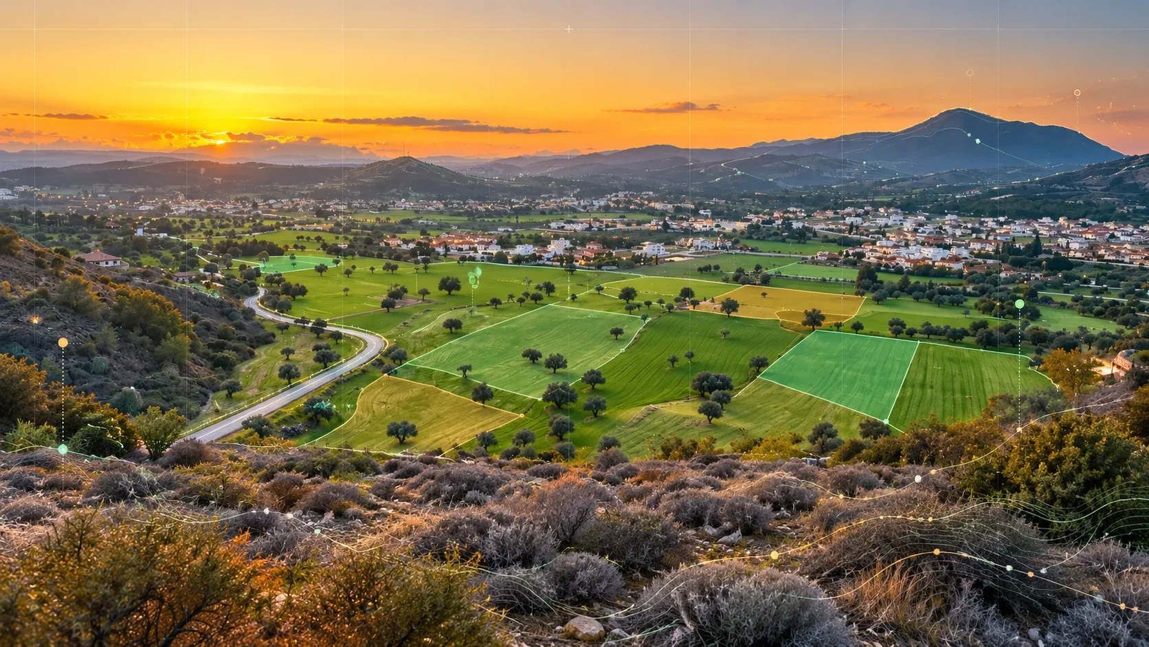
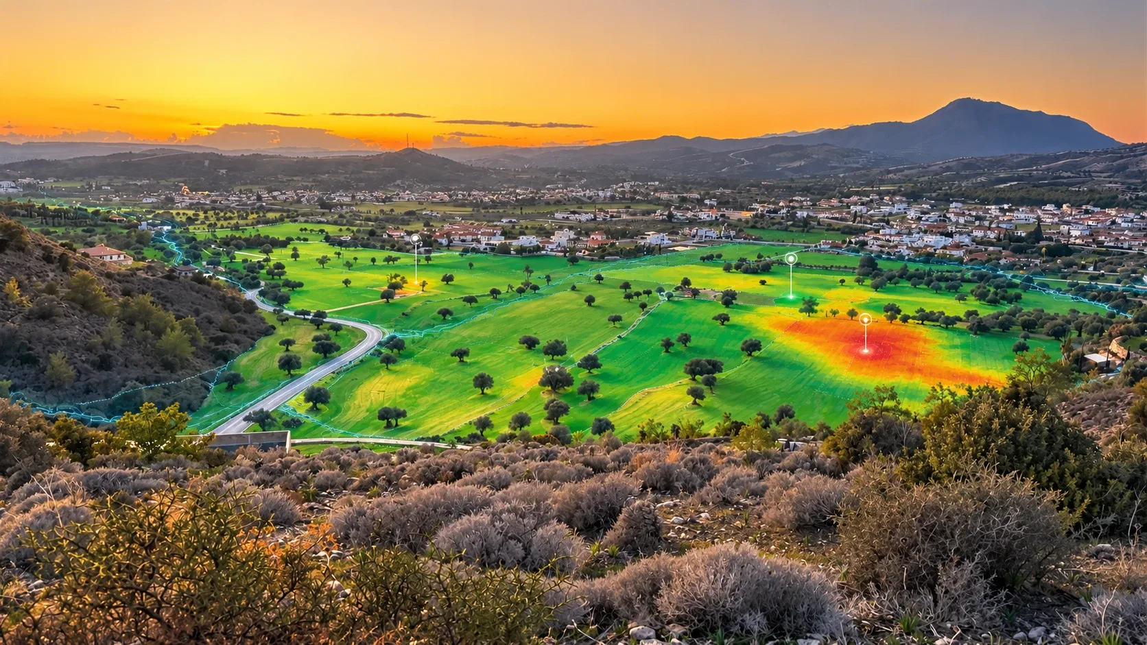
The same Cypriot landscape, first as the eye sees it and then as an analyst reads it. Each step adds information a planner, a processor or an investor can act on.
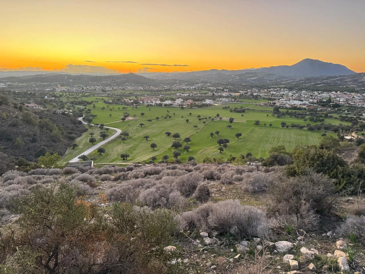 Photograph · Cyprus
01
Observe
The landscape as it is: fields, tree cover, settlements, water and terrain, captured repeatedly from orbit and from the air.
02
Delineate
Parcels, land-cover classes and resource units are outlined and measured, so every hectare has an identity and an area.
03
Diagnose
Condition layers show where vegetation is thriving and where it is under stress, so attention and investment go to the right place.
What we derive
Eight data layers behind better decisions.
RETEDI works with open satellite programmes such as Copernicus Sentinel, and with commercial, aerial and drone imagery where a project needs finer detail. Optical, radar, thermal and elevation data are combined and checked against field evidence.
01
Land cover & parcel mapping
What grows or stands where, by class and by area.
02
Vegetation & crop condition
Vigour, stress and seasonal development from multispectral indices.
03
Biomass & residue estimation
Indicative volumes of straw, prunings and other residues by zone and season.
04
Soil moisture & water stress
Where water is short, and where irrigation is over- or under-applied.
05
Surface water & hydrology
Water bodies, drainage paths and flow accumulation across a catchment.
06
Thermal & surface patterns
Heat signatures across land, built areas and industrial sites.
07
Terrain & elevation
Slope, aspect and landform for siting, access and erosion risk.
08
Change detection
What has changed between two dates, and how fast it is changing.
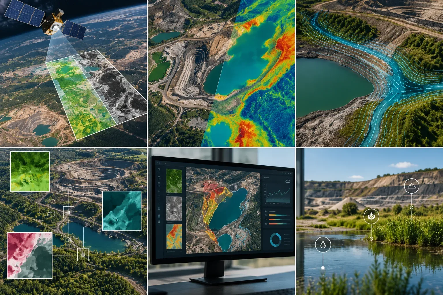
Earth observation workflows: imaging, thermal and hydrological analysis, multi-layer interpretation, monitoring console and field indicators
Where it applies
The same method, across every land-based sector.
Earth observation is not a product in itself. It is the evidence layer under RETEDI's work in agriculture, water, restoration, energy and municipal planning.
Agriculture & residues
Crop and orchard mapping, residue availability, harvest timing and collection planning.
Water & irrigation
Water-stress mapping, irrigation efficiency and catchment-level water accounting.
Quarries, mines & land restoration
Site monitoring, water and drainage behaviour, and tracking rehabilitation over time.
Municipal & land-use planning
Green cover, heat patterns, land-use change and evidence for local plans.
Clean-energy siting
Land suitability, terrain and constraints screening for renewable installations.
Environmental monitoring & reporting
Repeatable, auditable indicators for programmes, permits and funders.
Carbon & soil programmes
Supporting evidence for monitoring, reporting and verification of land-based measures.
Investment due diligence
Independent checks on resource claims before capital is committed.
How it connects
From pixel to investment decision.
A map alone changes nothing. RETEDI carries earth observation data through the rest of its method: into the resource platform, the logistics model and the techno-economic case.
- 01Satellite & aerial data
Need to know what is really on the ground?
Tell us the region, the resource or the site. RETEDI will set out which data sources fit, what they can and cannot show, and how the results feed the decision you need to make.